In an era defined by hyper-connectivity and the ubiquity of satellite-linked artificial intelligence, the humble paper map—once relegated to the glove compartments of history—is experiencing a remarkable resurgence. For the past two decades, the narrative of modern navigation has been dominated by the blue dot of GPS, an invisible tether connecting our smartphones to a constellation of satellites. Yet, despite the undeniable convenience of turn-by-turn navigation, a growing number of travelers, survivalists, and geography enthusiasts are returning to the tactile reality of ink on paper.
This isn’t merely a nostalgic trend; it is a calculated hedge against the vulnerabilities of a tech-dependent world. From the chaotic aftermath of natural disasters to the simple cognitive desire for "the big picture," the persistence of the paper map reveals profound truths about how humans interact with space, risk, and technology.
A Chronology of Navigation: From Cold War to Cloud Computing
To understand why the map persists, we must first look at how we arrived at the current digital paradigm. The roots of modern GPS are buried in the geopolitical tensions of the Cold War. Developed by the U.S. Department of Defense in the 1970s, the Global Positioning System was designed for military precision, far removed from the civilian concerns of finding a coffee shop or avoiding traffic.
It wasn’t until the 1980s and 90s that the technology began to trickle into the private sector, but it remained a niche tool for mariners and high-end aviation. The true democratization of navigation arrived in the mid-2000s. The debut of Google Maps in 2005 acted as the "Big Bang" for personal navigation. Suddenly, the complex task of route calculation was abstracted away into a simple interface: search, click, and follow the voice.
However, as GPS became the default, the industry saw a strange phenomenon. Rather than vanishing into obsolescence, traditional cartography companies—entities that many predicted would go extinct—found their market share stabilizing and, in many regions, expanding. By 2015, Rand McNally reported a notable uptick in the sale of Road Atlases. What was once considered a dying medium began to look like a reliable insurance policy for the modern traveler.
Supporting Data: The Numbers Behind the Map
The resurgence of physical navigation tools is not anecdotal; it is reflected in empirical sales data across the globe. The U.K.-based Ordnance Survey, a world leader in mapping, reported a staggering 144% increase in custom paper map sales in 2020. This trend proved resilient, with an additional 28% growth in 2021.
This data suggests that the surge was not merely a reaction to the pandemic-era desire for outdoor exploration, but a shift in consumer behavior. Major institutions, such as the American Automobile Association (AAA), continue to produce their iconic "TripTik" route books. These physical planners, which offer custom-printed directions and localized information, remain a staple for millions of members, proving that even in the age of the smartphone, the "analog layer" of trip planning remains essential for long-distance travel.
The Fragility of Digital Infrastructure
The primary driver of this trend is the inherent, often-ignored fragility of digital networks. As much as we rely on the seamless flow of data, our digital navigation is entirely dependent on a delicate, invisible infrastructure.
The Myth of Universal Connectivity
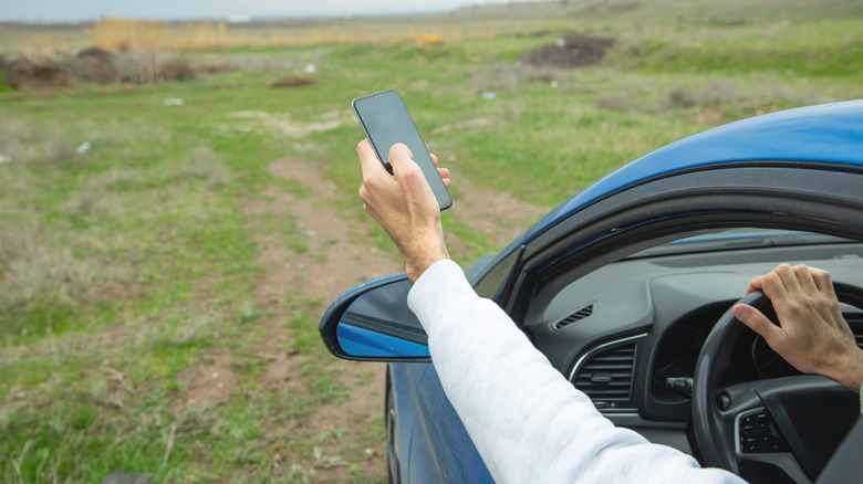
A common misconception is that GPS is an offline technology. While the satellite signals that determine location are free and constant, the maps themselves—the visual representation of the world—are almost always pulled from the cloud. When a driver enters a "dead zone," the digital experience begins to degrade. While sophisticated apps like Google Maps offer offline caching, these require foresight and significant data storage. If a user finds themselves in an unmapped area or experiences a sudden device failure, the screen goes blank.
Lessons from Infrastructure Failures
Recent history provides stark warnings. In early 2026, major metropolitan hubs like Moscow and St. Petersburg experienced systemic failures in mobile internet infrastructure. For several days, millions of citizens were effectively "blinded." Without access to ride-sharing apps or digital navigation, the dependence on GPS became a liability rather than an asset. The resulting surge in demand for physical atlases highlighted a critical lesson: when the network goes down, the technology built upon it evaporates.

Natural disasters present even more acute scenarios. During the catastrophic aftermath of Hurricane Helene, when telecommunications grids were shattered, digital maps became useless artifacts. Those who possessed paper maps were able to navigate, plan, and provide critical assistance to others, proving that in a crisis, the most "primitive" tool is often the most reliable.
Cognitive Implications: The Loss of the "Big Picture"
Beyond the functional benefits of reliability, there is a psychological and cognitive dimension to the paper map. When we offload our spatial navigation to an AI, we lose more than just a sense of direction; we lose our cognitive map of the world.
The "Black Box" Problem
GPS operates on a "black box" model. You input an origin and a destination, and the software provides a path. You are not required to understand the geography between those two points; you are merely required to execute the instructions. This creates a state of "cognitive offloading," where the brain ceases to build a mental representation of the environment. Consequently, if the GPS fails, the driver is often unable to orient themselves, as they have no internal map to fall back on.
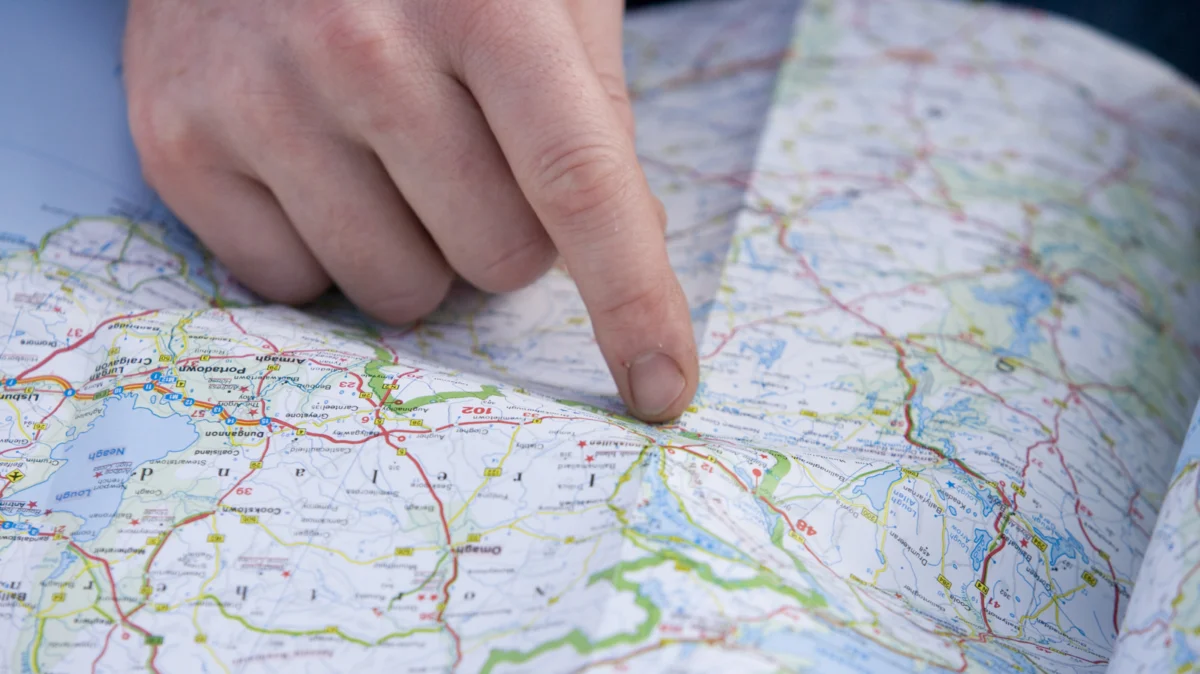
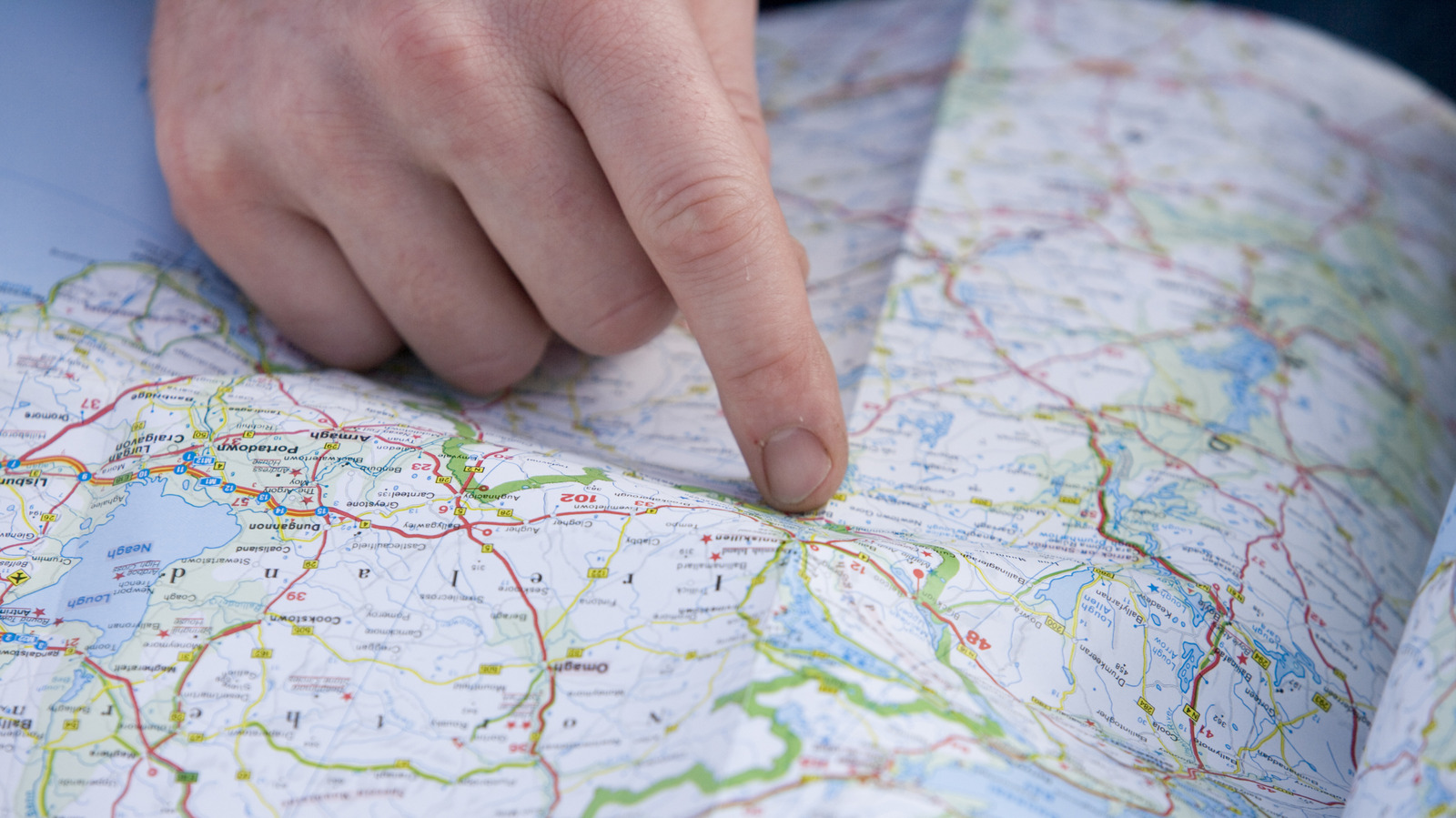
The Value of Perspective
Conversely, a physical map forces the user to engage with the landscape. You must identify landmarks, understand scale, and recognize the relationship between your location and the broader regional geography. As retired detective Miller Edwards noted in a recent interview, physical maps offer a "big picture" view that is almost impossible to replicate on a five-inch screen. By looking at a full-page atlas, a traveler sees not just the road they are on, but the cities, mountains, and rivers surrounding it. This creates a deeper, more enduring understanding of one’s place in the world.
Implications: The Future of Navigation
The coexistence of GPS and paper maps represents a hybrid future. The two technologies serve fundamentally different purposes. GPS is a tool for efficiency—it is the master of traffic avoidance, quick turn-by-turn instructions, and micro-navigation. Paper maps, however, are tools of resilience and spatial literacy.
A Hybrid Strategy
The most successful modern travelers have adopted a hybrid approach. They utilize the efficiency of digital tools for the "last mile" of navigation, while maintaining a robust, physical backup for the "first hundred miles." This strategy minimizes the risks of technology-induced isolation while maximizing the benefits of the digital era.
The Educational Value
There is also a growing movement to reintegrate map-reading into education. As educators recognize that over-reliance on technology can atrophy spatial reasoning, the use of physical maps in schools is being framed as a vital skill for brain development. It encourages the mind to synthesize complex visual data—a skill that is inherently different from simply following a digital prompt.
Conclusion: Why We Still Need the Paper Map
The digital age has brought us incredible convenience, but it has also brought a subtle narrowing of our perspective. The paper map remains a testament to human ingenuity—a tangible, unhackable, and eternally reliable record of the world.
While the "blue dot" will continue to guide us through the daily commute, the paper map will remain in our glove boxes, our backpacks, and our libraries. It is more than just paper and ink; it is a symbol of our desire to remain masters of our own movement, ensuring that even when the signal fades and the screen goes dark, we still know exactly where we are, and more importantly, where we are going.