
 Muslim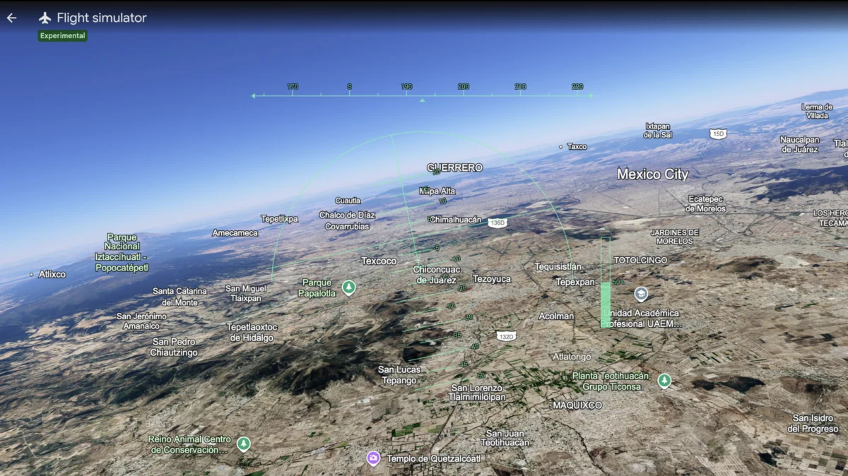
For decades, the world of flight simulation was largely dominated by niche, high-end software—complex programs requiring beefy gaming rigs, flight yokes, and hours of technical training to master. While titles like Microsoft Flight Simulator have pushed the boundaries of photorealism and physics, they often present a steep barrier to entry for the casual observer.
In a move that signals a pivot toward accessibility and wonder, Google has officially brought its beloved flight simulator mode to the web. Now, anyone with a modern web browser can traverse the globe from the cockpit of a virtual aircraft, turning the entire planet into a personal playground. This expansion marks a significant milestone for Google Earth, cementing its transition from a static geographic tool to a dynamic, interactive digital globe.
The Core Update: A Global Playground
The announcement, which arrived via a social media update from the official Google Earth account, confirms that the flight simulator feature is now accessible to users worldwide. This development removes the requirement for specialized software installations, allowing users to transition from browsing maps to piloting aircraft with a few simple clicks.
For those eager to take to the skies, the process is streamlined:
- Navigate to the Google Earth web application.
- Select the "Explore" icon in the sidebar.
- Open the "Tools" menu.
- Launch the "Flight Simulator" mode.
Once activated, the browser renders a 3D environment based on Google’s massive library of satellite imagery and elevation data. While it may not replicate the complex wind-tunnel physics or instrument-rated landing procedures found in professional-grade simulators, it offers something arguably more compelling: the ability to fly over your childhood home, the Himalayas, or the sprawling urban centers of Tokyo or New York in seconds.
A Brief History: From Desktop Hidden Gem to Web Standard
To understand the significance of this update, one must look at the evolution of Google Earth. Historically, the flight simulator was a "hidden" feature tucked away in the desktop version of Google Earth Pro. It was an Easter egg of sorts—a playful nod to the platform’s potential that remained largely ignored by the general public.
The Chronology of Innovation
- The Early Days (2000s): Google Earth debuts, revolutionizing how the public views geography through satellite imagery.
- The Desktop Era: Advanced features, including flight simulation, are added to the downloadable Google Earth Pro application, remaining mostly accessible to power users.
- The 2024 Historical Pivot: Google introduces historical imagery, allowing users to toggle through time to view specific locations as they appeared in the mid-20th century, including World War II-era records.
- The 2025 Expansion: Google deepens its commitment to the "living map" concept, integrating more robust historical Street View data.
- The 2026 Web Integration: The flight simulator is officially migrated to the browser-based version of Google Earth, making it platform-agnostic and accessible to anyone with an internet connection.
This trajectory illustrates a shift in Google’s strategy: moving away from the "siloed" desktop experience and toward a unified, browser-first ecosystem. By migrating these features to the web, Google is democratizing access to what was previously considered "professional" or "niche" geographic software.
Technical Foundations: More Than Just Imagery
The technical achievement of running a flight simulator in a browser is not to be underestimated. Google Earth relies on a sophisticated stack of technologies, including WebGL and high-performance streaming servers that fetch massive quantities of 3D terrain data on the fly.
Unlike traditional flight simulators that pre-render or install large terrain files, Google’s browser-based simulator must stream terrain, building textures, and atmospheric data in real-time. This requires a stable internet connection and a GPU capable of handling hardware-accelerated rendering.
Google’s developers have clearly prioritized "exploration over fidelity." The flight model is simplified—designed to ensure that even a novice with a mouse and keyboard can navigate the globe without the frustration of a "stall" or complex navigation protocols. The focus is on the view, not the mechanics of flight.
Official Responses and Managed Expectations
Google has been quick to manage the expectations of the flight simulation community. In their official documentation and developer FAQs, the company explicitly addresses the capabilities of the tool.
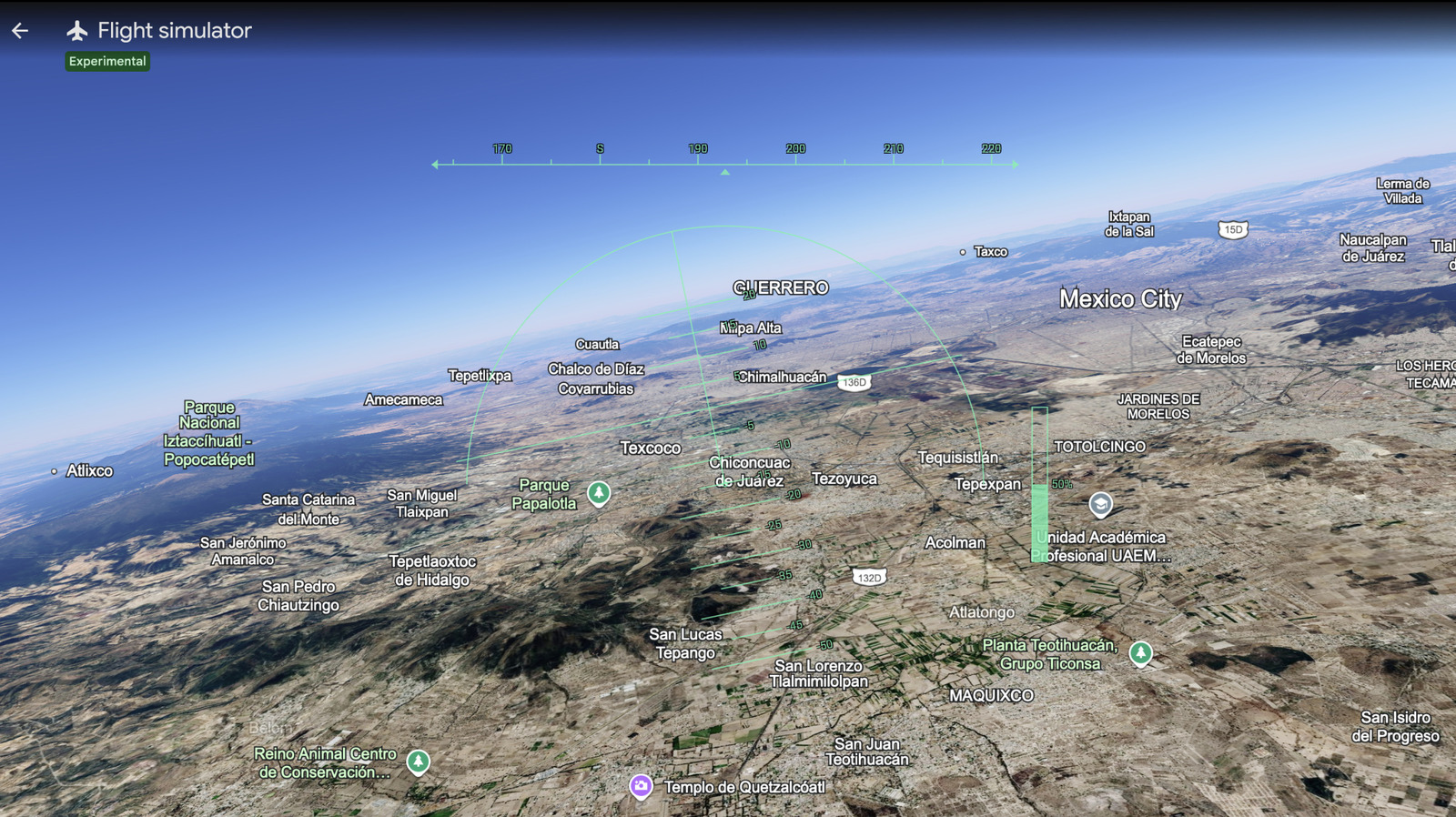
"The flight simulator is designed for casual exploration rather than high-fidelity aerodynamic training," the company noted in a recent brief. This statement serves as a clear boundary. Google is not looking to compete with the likes of Asobo Studio or Lockheed Martin’s Prepar3D. Instead, they are positioning Google Earth as an educational and leisure platform.
The response from the tech community has been largely positive. Android Police and other industry observers have praised the move as a return to the "fun" side of Google—a company that has, in recent years, been dominated by discussions of AI, search algorithms, and cloud infrastructure. By prioritizing a feature that serves no "utility" other than joy, Google is reminding its user base of the magic that made the internet a place of discovery.
The Implications: Where Do We Go From Here?
The migration of the flight simulator to the browser has broader implications for how we interact with digital spaces.
1. The Democratization of Geographic Education
By making the world "flyable," Google is creating a new pathway for geography education. A student can learn about the scale of a mountain range by flying over it, rather than simply looking at a topographic map. This experiential learning is far more sticky than traditional textbook methods.
2. The Future of Web-Based 3D
This update serves as a proof-of-concept for the power of modern web standards. If a browser can support a real-time flight simulator over the entire planet, what else can it support? We are approaching a point where the distinction between "local software" and "web application" becomes effectively nonexistent.
3. Sustainability and Digital Tourism
As travel becomes increasingly expensive and carbon-intensive, digital tools like Google Earth offer a "low-impact" way to explore the world. While it cannot replace the physical experience of travel, it allows for a form of digital tourism that is inclusive, free, and accessible to people who might never have the means to visit these locations in person.
4. Experimental Risks
Google has been transparent that this is an "experimental feature." Users may encounter "wonky" moments—glitches where buildings fail to render properly, or terrain textures pop in late. This transparency is key to the user experience. By framing it as an experiment, Google invites user feedback, effectively crowdsourcing the refinement of the simulation’s performance across a diverse array of hardware.
A Final Thought for the Aspiring Pilot
As you prepare to take off from your browser, it is worth remembering that you are navigating one of the most complex datasets ever assembled by humanity. From the depths of the ocean floor to the highest peaks of the Andes, the entirety of our known world is under your command.
While you won’t be qualifying for a commercial pilot’s license through this simulator, you will gain something equally valuable: a bird’s-eye view of the planet we call home. Whether you are buzzing over the skyscrapers of Dubai or performing a gentle landing in the French Alps, the message from Google is clear: the world is open, and it is yours to explore.
Happy travels, and keep your eyes on the horizon. The digital skies are now fully open for business.


 Jia Lissa
 Neng Nana