

In the southern reaches of Tochigi Prefecture lies a waterway that defies the conventional geography of the Watarase River system. Known as the Sakasagawa (坂西川)—a name that translates poetically to "backward-flowing river"—this modest tributary has become a focal point for those seeking the authentic, unvarnished pulse of suburban Japan.
While travelers often flock to the grand temples of Kyoto or the neon corridors of Tokyo, the Sakasagawa offers a different, more introspective experience. It is not a destination of national fame, but rather a masterclass in the beauty of the mundane. Running for just four kilometers, this gentle stream serves as a quiet artery through the residential and agricultural heart of Ashikaga, providing a rare look at a city that rarely registers on the international tourism radar.
Main Facts: A Geographical Oddity
The name "Sakasagawa" is rooted in a fascinating hydraulic quirk. While the massive Watarase River system—the primary waterway for the region—flows resolutely to the south, the Sakasagawa flows north. This minor geographic anomaly creates a subtle, almost rhythmic contrast against the backdrop of the city’s standard urban development.
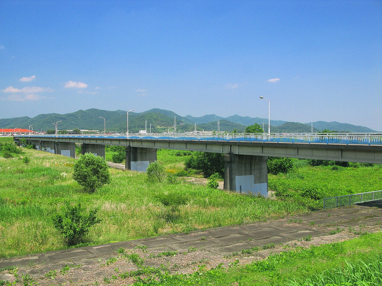
For the modern visitor, the Sakasagawa is less a river to be "conquered" and more a pathway to be experienced. It is a largely unpaved or semi-paved footpath that follows the northern bank of the stream, originating in the Ishibashi-cho district and terminating at the confluence with the Watarase. The trail runs atop a flood-control levee, placing walkers two to three meters above the waterline, offering a vantage point that overlooks both the quiet stream and the modest, sprawling suburbs of southern Tochigi.
The Chronology of a Walk: Seasonal Transitions
The Sakasagawa is not a static environment; its character shifts with the Japanese calendar, offering distinct reasons for a visit at different times of the year.
Spring: The Canopy of Petals
From late March to early April, the path transforms. In the 1960s, a municipal beautification project saw the planting of 200 somei-yoshino cherry trees along the central levee. Today, these trees have matured into a continuous, ethereal canopy. During the peak bloom, usually between March 28 and April 8, the path becomes a tunnel of pale pink. Unlike the overcrowded parks of Tokyo, the Sakasagawa remains the domain of local families and school children, offering a rare, tranquil hanami (flower-viewing) experience.
Summer: Lush Greenery and Fireflies
As the humidity of the Japanese summer sets in, the landscape turns a vibrant, deep green. While temperatures can soar, the upper reaches of the river offer a fleeting spectacle: fireflies. For approximately two weeks in mid-June, the twilight hours along the upper stream are illuminated by these delicate insects, a testament to the relative cleanliness and health of the waterway.
Autumn: The Quiet Palette
Mid-October through late November brings a shift toward ochre and crimson. While the cherries of spring are dormant, the zelkova and maple trees lining the banks provide a secondary, more subtle foliage display. This is the quietest season for the trail, where solo walkers can enjoy the crisp air and the sound of dry leaves without the distraction of crowds.
Winter: The Stark Beauty
From December through February, the Sakasagawa is stripped to its bones. The landscape is sparse, and the air is biting. However, for the photographer or the writer, this season offers an unmatched clarity. The stark geometry of the riverbanks and the unobstructed views of the distant mountains make it an ideal time for those who appreciate the minimalist aesthetic of the Japanese winter.
Supporting Data: The Flower Walking Course
The Sakasagawa path is a key component of the "Hana no Walking Course" (Flower Walking Course), an informal but strategically planned 10-kilometer loop designed by the Ashikaga municipal tourism board. The loop serves as a connective tissue for the city, linking the Sakasagawa to a dozen small parks, temples, and riverside landmarks.
Key Nodes on the 10km Loop:
- The Sakasagawa Trailhead: The starting point for the northern section.
- The Red Footbridge: A landmark for local photographers.
- The Watarase Confluence: Where the small stream meets the larger river.
- Banna-ji Temple: The historic spiritual heart of Ashikaga.
- Orihime Shrine: The hilltop "matchmaking" shrine.
- Ashikaga School: The oldest educational institution in Japan.
For the average visitor, completing the full 10-kilometer circuit can be a significant undertaking. A more balanced itinerary involves walking the Sakasagawa section (approximately 1.5 hours) and then pivoting toward the cultural sites of central Ashikaga for a full day of exploration.
Official Perspectives and Infrastructure
The Ashikaga municipal works department maintains the trail with a focus on flood mitigation and local access. Because the path is situated on a levee, it is strictly utilitarian in design. There are no vending machines, toilets, or cafés along the route itself.

According to municipal guidelines, the trail is intended for pedestrians, though cyclists are permitted on roughly 60% of the wider, paved sections. In the final 500 meters at the southern end, the path narrows, and bicycle use is discouraged to prioritize pedestrian safety. Local authorities emphasize that while the path is well-maintained, it is not a "tourist attraction" in the conventional sense; there are no major visitor centers or English-language signage panels beyond the basic orientation markers at the entry points.
Implications for the Modern Traveler
The appeal of the Sakasagawa lies in its "unglamorous" nature. In an era where global tourism is increasingly defined by "Instagrammable" moments and crowded landmarks, the Sakasagawa provides a space for reflection.
Practical Implications for Visitors
- Logistics: The path is best accessed from JR Ashikaga Station. A 15-20 minute walk northeast brings you to the trail. Travelers are advised to stock up on water and use public restrooms at the station, as there are no facilities on the path.
- Footwear: Because the trail is composed of compacted gravel and grass, sturdy, ankle-high shoes are recommended. Mud is a common issue following rainfall.
- Cultural Etiquette: This is a neighborhood path. Residents use it for jogging, dog walking, and commuting. Visitors are encouraged to maintain a low profile and engage in the customary polite greetings (ohayo or konnichiwa) if passing locals.
The "Real Japan" Factor
For those looking to move beyond the surface-level veneer of tourism, the Sakasagawa offers a glimpse into the everyday rhythm of life in Tochigi. You will see vegetable gardens being tended, children navigating the path on bicycles, and elderly residents performing morning stretches. It is this specific register of "real life"—unfiltered and uncurated—that makes the walk so compelling for writers, photographers, and solo travelers.
Conclusion: Is it Worth the Detour?
If you are a traveler looking for the "main sights," the Sakasagawa may be an easy skip in favor of the nearby Ashikaga Flower Park—famous for its 150-year-old wisteria—or the historic Ashikaga School. However, for those who measure the success of a trip by the depth of their connection to a place, the Sakasagawa is essential.
It is a walk for the "completionist," the "quiet-seeker," and the "observer." In the span of four kilometers, the Sakasagawa does not attempt to dazzle you with spectacle. Instead, it invites you to slow down, to notice the turn of the seasons, and to participate in the quiet, forward-moving life of a city that—despite its backward-flowing river—is perfectly in step with the pulse of modern, suburban Japan.